
So, I started looking for an excuse to go to West Virginia and one that wasn't too far out of the way and found Harpers Ferry. It is the easternmost city in West Virginia and a pretty cool place to visit. If you look closely at the map above, you can see a little point at the eastern edge of West Virginia where it meets two other states. That's Harpers Ferry. We only stayed one day and that was mostly just for a hike, but it was a neat place nonetheless.


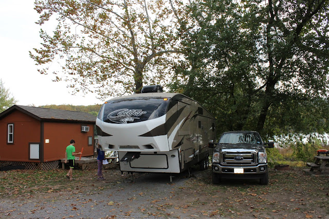
We stayed just a few miles outside of town, but the route to our site was complicated by a low bridge on the main road in, so RVs had to take a winding, several mile long detour which required a real map. Anyway, our site was in a valley right on the Potomac River with absolutely no internet and a tortuously intermittent cell signal.


We drove into the Harpers Ferry National Park which is really just a parking lot with an information building. To get into the city, you have to ride a bus in which was actually pretty nice. This is part of the town that you see when you get off the bus.


There is a lot of history here, but we didn't really have time to explore all of that. There is a really good hike up to a great lookout point that's about a three mile round trip. It is very uphill on the way there. We loaded up on water and snacks and started out. It was unusually hot today (mid 80s, I think).


It is hard to tell from these pictures, but Harpers Ferry is the tip of West Virginia sandwiched between Maryland to the north (on the right in the pics) and Virginia to the south (on the left). We were in all three states today, but these pictures were taken in Maryland.


Awesome post. I love the map. I was wondering the other day if you were going to put up a map of all your travels. I think you should go ahead and blue out Florida since you guys have all been there :)
ReplyDeleteThanks! It's funny you mentioned it...I have never looked at the blog on a mobile device because I write them on my laptop, but on a non-mobile device you can see a map of the travels in the top right corner at all times. You can't see it on a mobile device. It shows the route we have taken.
DeleteI thought about marking other states, but it gets complicated. I've been to lots of other states, but the kids have been to an assortment of other states not all the same. I wasn't sure what to display, so I just stuck with this trip.
Florida is screaming out to be marked though.